We offer a comprehensive range of solutions to support your environmental initiatives:

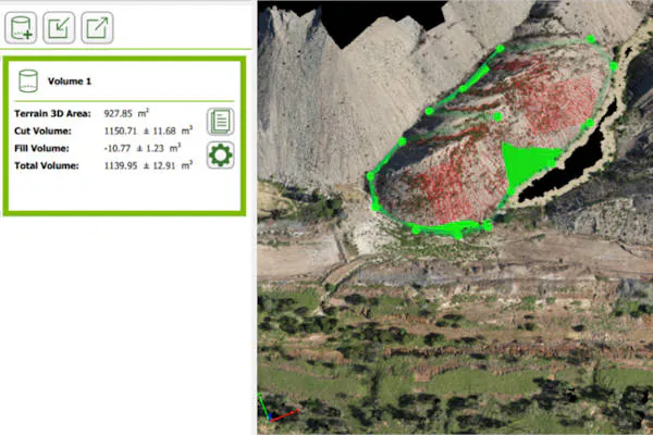
Volumetric Measurement
Our state-of-the-art drones are equipped with cutting-edge technology that allows us to accurately measure volumes of materials, stockpiles, and more. Whether you need to assess the impact of a construction project or manage resources efficiently, our volumetric measurement service provides precise data that is crucial for environmental management. With our drone technology, we ensure that your environmental goals are met with precision and effectiveness.
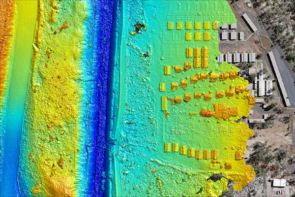
Digital Elevation Maps
Environmental planning and assessment require detailed digital elevation data. Our drones capture high-resolution imagery and elevation information to create comprehensive digital elevation maps. These maps play a vital role in understanding terrain characteristics, drainage patterns, and potential environmental risks. By leveraging our digital elevation mapping service, you can make informed decisions and implement effective environmental strategies.

At PSAH Drone Services, we believe in the power of technology to drive environmental conservation. Our Environmental Management and Rehabilitation services empower you with accurate data, enabling you to protect and rehabilitate sensitive ecosystems effectively.
